ArcGIS vs QGIS: Which One Should You Learn in 2026?
Geographic Information Systems (GIS) are essential tools in urban planning, climate analysis, infrastructure development, and environmental monitoring. Two of the most widely used GIS platforms are ArcGIS and QGIS. Choosing the right one depends on your career goals, budget, and application needs.
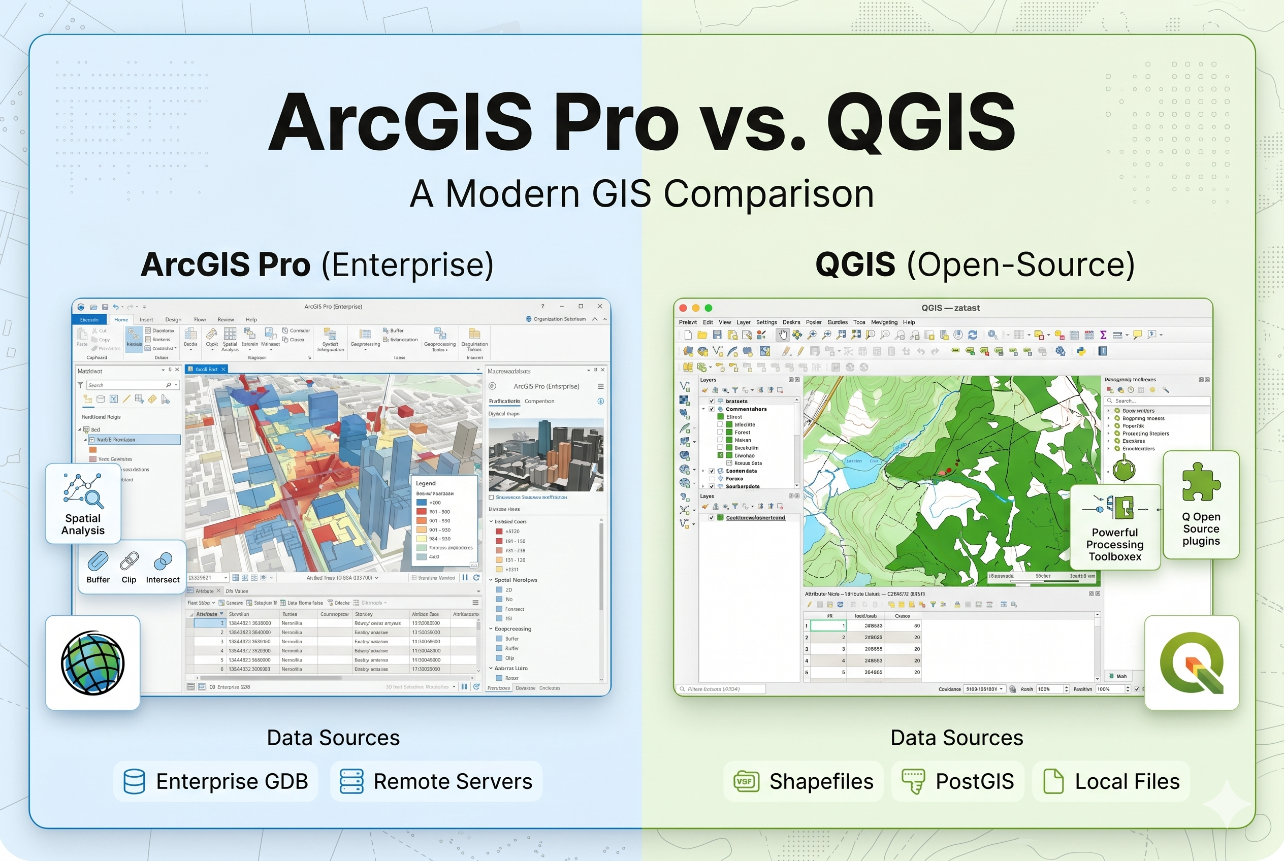
ArcGIS is a commercial GIS software developed by Esri. It is widely used by government agencies, large organizations, and infrastructure companies due to its advanced tools and enterprise capabilities.
QGIS is an open-source GIS platform that is free to use and highly customizable. It is popular among students, researchers, and small organizations.
| Feature | ArcGIS | QGIS |
|---|---|---|
| Cost | Paid (License Required) | Free (Open Source) |
| Ease of Use | More user-friendly interface | Requires learning curve |
| Advanced Tools | Highly advanced | Available via plugins |
| Industry Usage | Widely used in government & corporates | Popular in research & startups |
| Customization | Limited | Highly customizable |
The best strategy is to learn both ArcGIS and QGIS. Start with QGIS to understand basic concepts, then move to ArcGIS for advanced and industry-level applications.
In the current job market, professionals who know both tools have a competitive advantage. Companies expect practical skills in spatial analysis, remote sensing, and real-world problem solving.
Both ArcGIS and QGIS are powerful GIS platforms. Your choice should depend on your career goals and project requirements. Learning both tools will significantly boost your opportunities in GIS, climate change analysis, and urban planning domains.
? Want to learn GIS practically? Enroll in our professional GIS training programs and gain real-world experience.


