Discover What's Hidden – The Power of Location
GIS

How Technology Safeguards Our Watersheds in the Face of Climate Change

  • 21 Oct, 2023
How Technology Safeguards Our Watersheds in the Face of Climate Change

In today's world, technology is advancing at an astonishing pace, reshaping how we understand and interact with our environment. One such technological marvel is Geographic Information Systems (GIS), which has revolutionized how we manage and protect our watersheds. Let's explore how GIS, or Geographic Information System, has evolved and how it's helping us safeguard our watersheds in the midst of climate change.

The Evolution of GIS

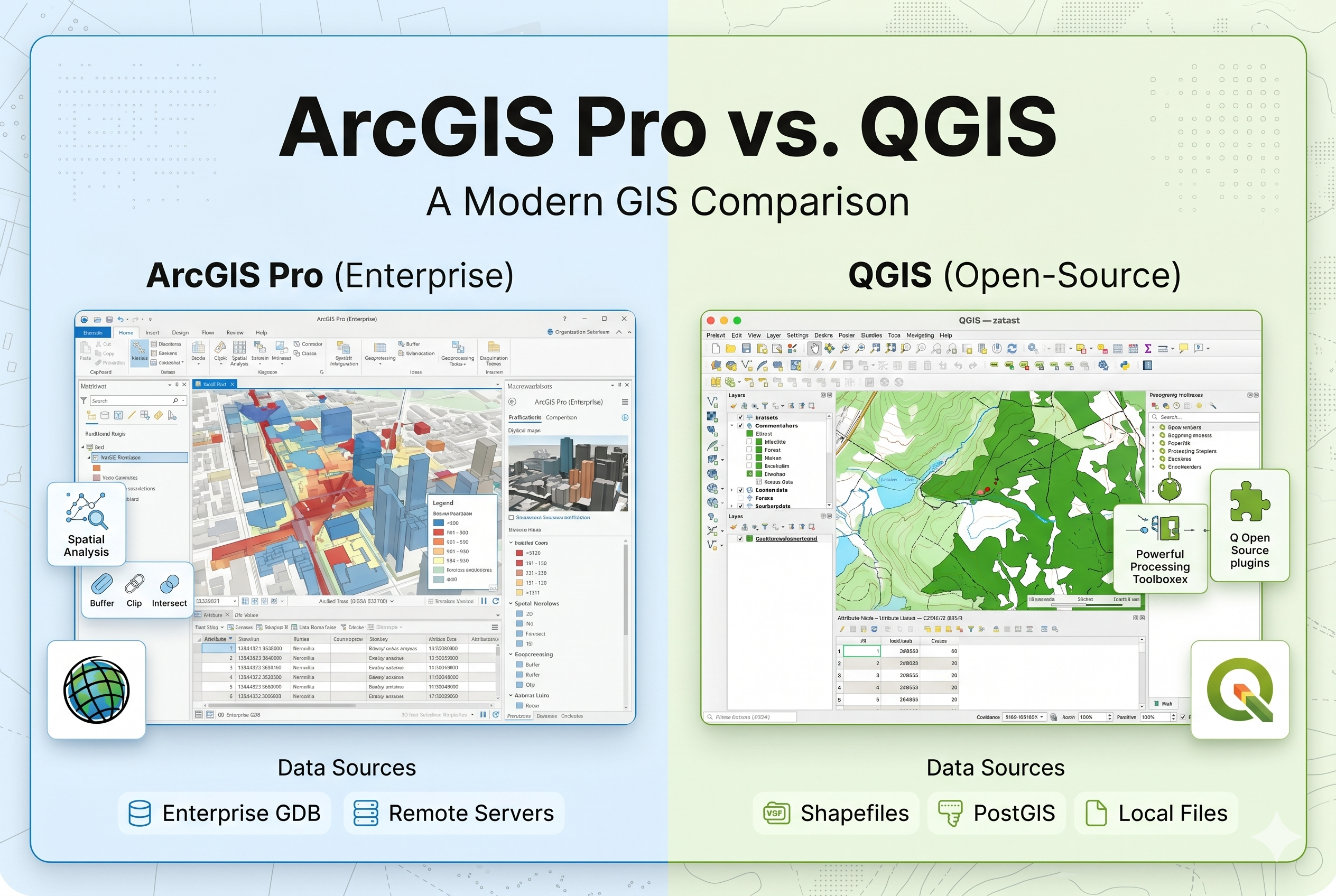
GIS has come a long way from traditional paper maps. It's now a powerful tool for collecting, organizing, and analyzing geographical data. With advancements like the Internet of Things (IoT), Machine Learning, Deep Learning, and Artificial Intelligence (AI), GIS has become even more potent, providing precise mapping and navigation solutions.

images
Images

Watershed Management and Its Significance

A watershed is an area where all rainwater flows to a common point, like a river or lake. It's crucial because it helps us identify areas vulnerable to disasters like floods or droughts. As climate change accelerates, understanding and managing watersheds have become more important than ever.

How GIS Saves Money and Lives through Watershed Management

GIS plays a critical role in managing water resources, protecting the environment, and reducing the impact of natural disasters. Here's how it saves money and lives :

  • Spatial Analysis: GIS helps experts understand the layout of water resources, land use, and environmental conditions within a watershed. This data is vital for informed decision-making.
  • Data Collection and Storage: Watershed management requires extensive data on rainfall, river flow, soil types, and land cover. GIS organizes this data, making it accessible for decision-making.
  • Analysis and Modeling: GIS tools allow watershed managers to create models that predict the effects of factors like heavy rainfall. This helps plan water allocation and flood control.
  • Disaster Preparedness: GIS creates maps showing floodplains and evacuation routes, aiding emergency planning.
  • Integration with Big Data: GIS can merge with Big Data sources like weather stations and remote sensors for real-time environmental monitoring.
  • Technological Advancements: IoT sensors provide real-time data on water quality and quantity, while AI and machine learning analyze this data to predict water-related issues.

Climate Change and Its Consequences

Climate change affects the environment and water resources, impacting factors like evaporation, humidity, and solar radiation. These changes worsen water scarcity, affecting communities differently.

images


The Role of Geospatial Technologies

Geospatial technologies like GIS help us assess climate change's effects on watersheds. They analyze changing precipitation patterns, temperature shifts, and their impact on water cycles.

Watershed Health Assessment

Watershed health means a watershed's ability to maintain its structure and processes. Geospatial technologies help assess it. The research in this blog aims to:

  • Assess Climate Change: Evaluate climate change using historical data.
  • Analyze Watershed Behavior: Identify key processes and controlling factors.
  • Quantify Impact: Measure climate change's impact on watersheds.
  • Develop Indices: Create metrics for assessing watershed health.
  • IComposite Index: Make an overall index to gauge external factors' impact.
  • Application: Apply the index to understand climate change's effect on watersheds.

Artis Aeris PVT LTD's Innovative Approach

Artis Aeris PVT LTD takes watershed management to the next level by using advanced GIS, Big Data, and IoT-based Machine Learning. Here's how they're making a difference :

  • Advanced Modeling: They use dynamic models that consider various factors for precise predictions.
  • Big Data Integration: Artis Aeris PVT LTD processes vast data from satellites and sensors to identify risk factors.
  • IoT-Based Machine Learning: Real-time data from IoT devices helps predict disasters.
  • From Probabilistic to Forecasting: Instead of estimating risks, they forecast when and where disasters might occur.
  • Global Reach: They extend their solutions worldwide, helping nations prepare for and respond to disasters.

In conclusion, Artis Aeris PVT LTD's integration of GIS, advanced modeling, Big Data, and IoT-based Machine Learning in watershed management is a game-changer. It empowers governments and organizations to make informed decisions and manage disasters effectively. Geospatial technologies offer hope in our quest to preserve our vital water resources in the face of climate change. Stay tuned for more updates on this exciting journey!

Get Your Quality Skills Certificate Through Artis Aeris

Get started now
  • shape
  • shape
  • shape
  • shape